
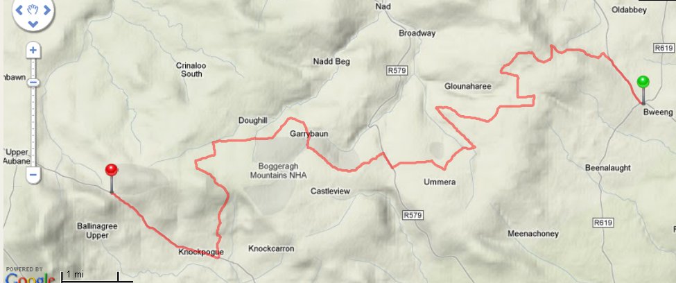
The Blackwater Way (the combined Duhallow and Avondhu Ways) is a 168 kilometre linear long distance walking route that stretches from the borders of west County Waterford across north County Cork and into the County of Kerry, following the valley of the River Blackwater. It in turn is part of the European E8 route which stretches from Kenmare to Bulgaria (some 4,300km). Here we highlight part of the route near Millstreet, from Mushera to Bweeing, a route which is described on WalkingRoutes.ie
“This is the complete section from the pub at Bweeng to the Carpark at Mushera (at the highest point of the butter road). The sections across Mossy Bed and Nadd Bog are very wet all year round. Forest operations at the start of the Nadd bog section means that the way markings are not easily visible. Overall the marking is good but caution is needed at a few points.(Some other users have tied White flags to trees to indicate the route where there is a risk of going wrong.) Some severe erosion on the stream banks across Nadd Bog make for a bit of a climb around, but it is manageable. On the open section near the active bog the marker posts are overgrown and hidden behind trees. This is the worst section as there are a lot of different tracks. Care needed. Parking at both ends and at the junctions with the various roads crossed.”
See more detail on the trail on WalkingRoutes.ie